Ground Imaging System
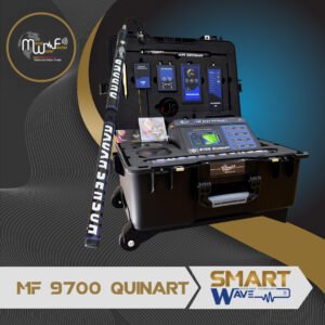
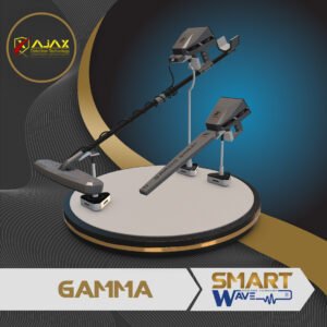
Ground Imaging Sys, or Ground Radar Detection Sys GPR, it is one of the most accurate exploration Systems, that gives users spectral and stratigraphic images about the shape of the targets buried underground through special programs on the device screen, laptop or mobile phone App, after lengthy research, we chose for you a group of the best and most accurate of these devices.
Showing all 5 results


